Soaring high for a sustainable future: Arven begins aerial survey work
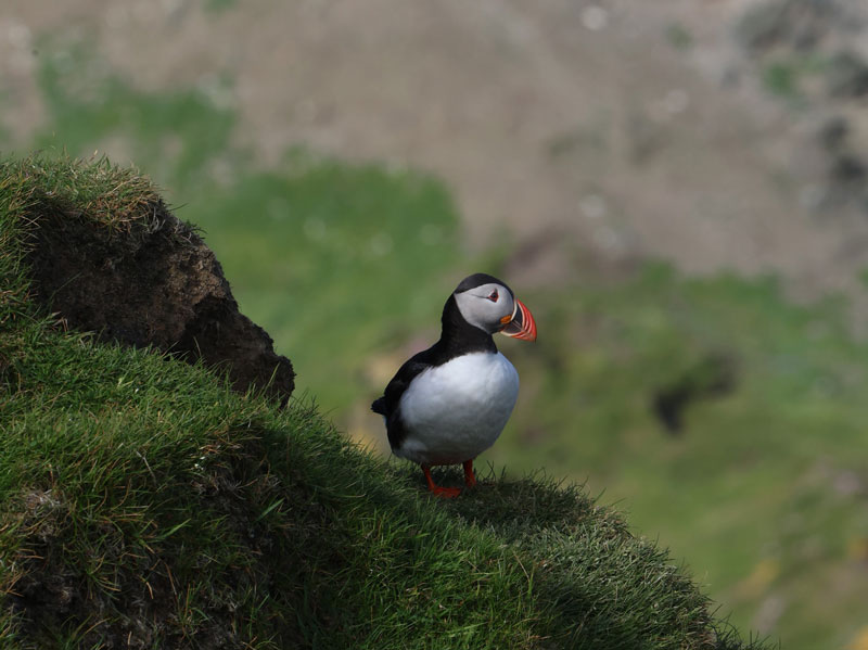
Arven Offshore Wind Farm has started the journey towards a key project milestone, beginning a two-year process of wildlife aerial surveys.
Once a month across a two-year period, surveys are carried out from an aircraft flying around 500m above the sea, using high-definition cameras to capture still and video imagery of the sea surface within the proposed wind farm footprint and surrounding areas.
The data captured will help to characterise the most common marine life around the site. The intention is not to spot rare wildlife, but rather the species that most commonly use the area – including bird species like Guillemots (Tystie, Longwi or Loom), the most common species in the auk family, or Fulmar (Maalie), and marine mammal species like Harbour porpoise (Neesick).
Why do we gather data?
The need for comprehensive data gathering is evident as the Arven site remains relatively unknown in terms of seabird and marine mammal activity. To assess the potential impacts of the development, Arven has commissioned environmental consultants HiDef Aerial Surveying to complete this survey work.
Aerial surveys are essential for making informed decisions about the project. By identifying factors such as foraging areas and migration routes this work will form part of the Environmental Impact Assessment, informing consent decisions and potentially measures to mitigate potential impacts. To date the team has completed eight aerial survey trips of the proposed site and the surrounding area, analysing thousands of images.
Once operational, Arven is expected to have the capacity to generate enough electricity to power the equivalent of more than two million homes, playing a key role in decarbonising the UK power system and meeting Scotland’s energy transition and net zero ambitions.
Dr Glen Tyler, Principal Consultant at HiDef Aerial Surveying Limited, told us:
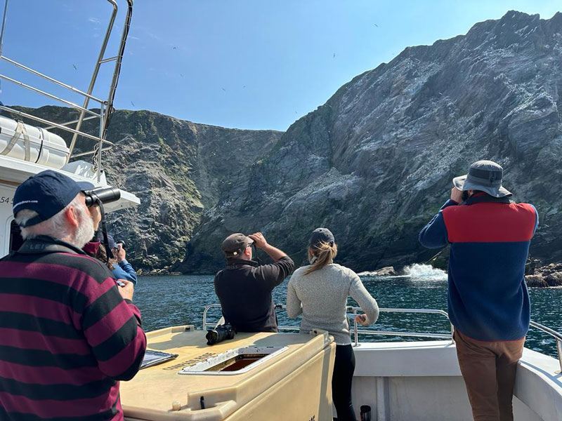 “Located far up north, Arven is unlike any site we’ve surveyed before. Fortunately, I’m based in Shetland, making this project a unique experience for me. It’s great to collaborate with a team like Arven that values minimising environmental impact, mirroring the driving force behind my work.”
Arven’s collaborative approach
Arven’s commitment to minimising project impacts extends beyond aerial surveys. In addition to the comprehensive bird and marine mammal surveys, and a recent survey of seabed habitats in the wind farm areas, the project team has started engaging with key stakeholders including the fishing industry.
Following survey work starting, a Scoping Report will then be produced, followed by a comprehensive Environmental Impact Assessment (EIA) to accompany a future consent application. The assessment will be informed by the results of research, surveys and analyses aimed at evaluating the potential effects of Arven on the local environment and other marine users. It will also outline proposed mitigation measures to address potential environmental impacts.
As we begin the journey of data gathering and assessment, the commitment to collaboration, transparency, and environmental responsibility is priority. The results of these aerial surveys and subsequent assessments will not only shape the trajectory of the project, but also contribute significantly to Scotland’s energy transition and sustainable energy future.
Read our more recent blog on why floating offshore wind is the future for Arven, here.

